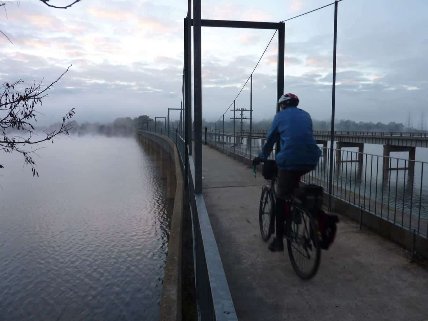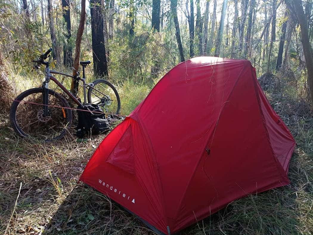
West of Brisbane, the old Brisbane Valley railway line once ran from Ipswich up the valley of the Brisbane River to the Blackbutt Range. Today it is the Brisbane Valley Rail Trail (BVRT), and at 161 km it is the longest rail trail in Australia.
It is a ride through classic South East Queensland country: farmland and creek flats, small towns with old pubs and bakeries, the shores of the Brisbane River valley, and the forested ranges at the northern end. This guide covers the route, the surface, the towns, what bike to ride and how to plan a trip.
Trail overview
161 km
Length
Wulkuraka to Yarraman
4
Councils
Ipswich, Somerset, South Burnett, Toowoomba
2018
Completed
Final link opened August
The BVRT runs from Wulkuraka, in the City of Ipswich, through the Somerset Region to Yarraman, in the Toowoomba Region. It follows the old Brisbane Valley railway line and is open to walkers, touring cyclists and horse riders.
The top end of the trail is at Yarraman, on the Great Dividing Range, north-west of Brisbane and directly west of the Sunshine Coast. The southern end starts at Wulkuraka Station in Ipswich. The trail is managed day to day by Queensland's Department of Transport and Main Roads, together with Ipswich City, Somerset, South Burnett and Toowoomba Regional Councils and the trail's volunteer ambassadors.
The route
Wulkuraka to Toogoolawah
From Wulkuraka Station, the first few kilometres are concrete, part of Ipswich City Council's Brassall Bikeway, before the trail turns to dirt and gravel. This southern section passes through Fernvale, Lowood, Coominya and Esk, and returns to concrete in the towns. The Fernvale to Lowood section is where the BVRT began: the first section was built here, and its 20th anniversary was celebrated in July 2022. It has an excellent decomposed granite surface and hosts the annual Rail Trail Fun Run.
A highlight of this section is the Lockyer Creek Railway Bridge at Clarendon, which was opened to trail users in late 2018 after a restoration costing $4.5 million. The bridge was listed on the Queensland Heritage Register in 1992.
Toogoolawah to Moore
For years, the trail had a gap between Toogoolawah and Moore, and riders used local roads to connect them. Construction of the missing link began in late 2017, and it was officially opened in August 2018, completing the trail. At Moore, the trailhead is opposite the Moore Memorial Hall in Stanley Gates Park.
Moore to Yarraman
The northern section, from Moore to Yarraman, passes through Linville, Benarkin and Blackbutt in the upper reaches of the Brisbane River valley, and crosses the Blackbutt Range. Benarkin and Blackbutt, on the D'Aguilar Highway, are also access points to the Bicentennial National Trail. This is where the trail climbs onto the range, so expect long gradual climbs heading north.
Heritage along the way
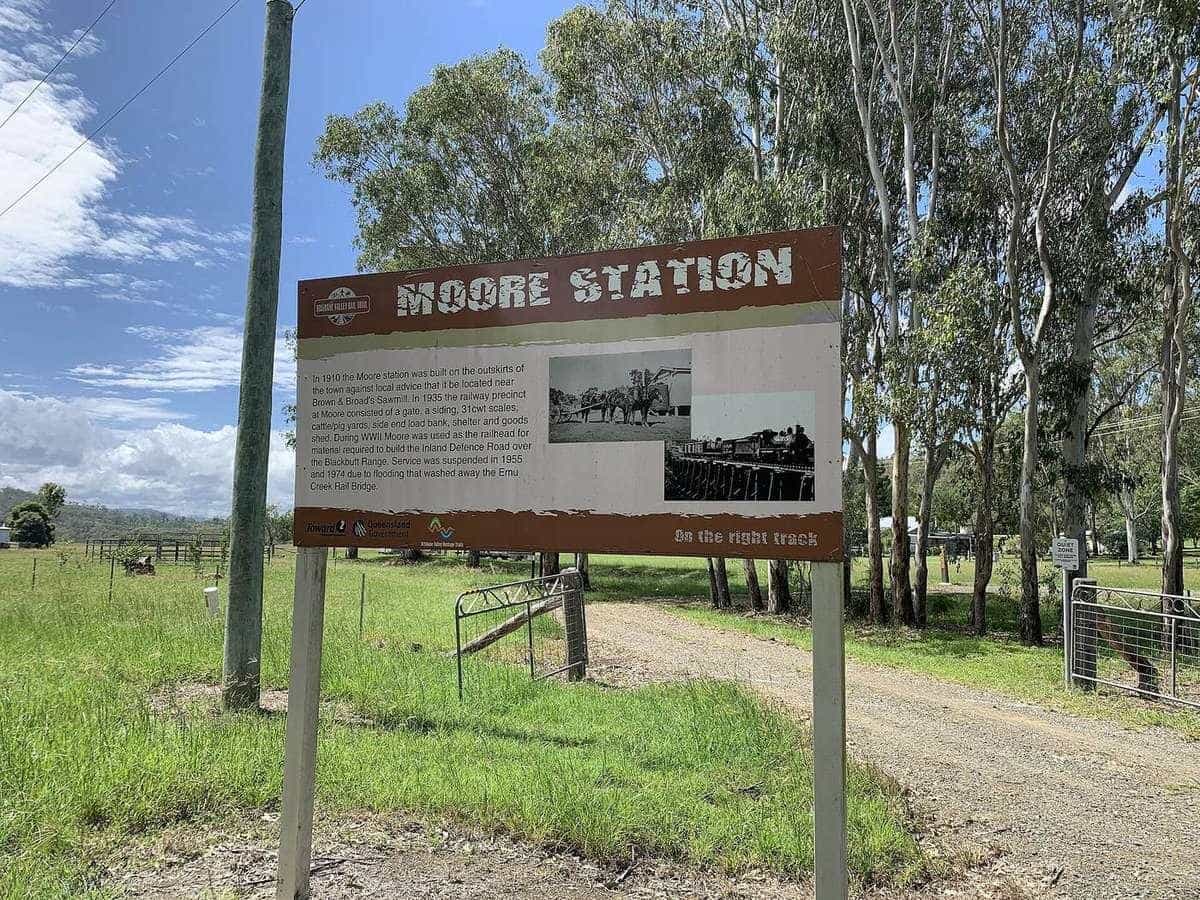
The BVRT is full of railway history. As well as the Lockyer Creek bridge, the Yimbun Railway Tunnel was listed on the Queensland Heritage Register in 2008. Old station sites, platforms and interpretive signs along the trail tell the story of the Brisbane Valley line and the towns it served. The trail details the history and landscape of the valley, and stopping to read the signs adds a lot to the ride.
Surface and bikes
The BVRT is mostly unsealed, with concrete through towns and some sections near Ipswich. According to Wikipedia, the surface is not suitable for road or racing bicycles. Choose a hybrid, gravel or mountain bike with wide tyres, ideally with some tread. After rain, sections can become soft and muddy, and parts of the trail may close temporarily. Check current conditions on the official trail website before you go.
Planning your ride
How many days?
The whole trail is a substantial multi-day ride for most people. Your pace, your fitness, the weather and the time you spend in towns all affect the number of days. Our ride planner includes the BVRT and lets you set your own speed and daily hours.
Many riders split the trail into sections, riding south to north or north to south, or doing it over several weekends. The family-friendly Fernvale to Lowood section makes a good introduction.
Direction
Riding north means a gradual climb onto the Blackbutt Range towards the end. Riding south from Yarraman means more downhill overall at the northern end. Consider the wind, too.
Accommodation and food
The trail passes through a string of towns with pubs, cafes, bakeries and accommodation, but the distances between them vary. Book ahead, especially on weekends and during school holidays, and carry food and water for the longer gaps.
Getting there
The southern end at Wulkuraka is in Ipswich, west of Brisbane. The northern end at Yarraman is on the Great Dividing Range, about 144 km from Brisbane by road to Moore. For one-way rides, arrange transport back to your car with a shuttle service or a friend.
Safety
- Heat. South East Queensland summers are hot and humid. Ride early, carry plenty of water and avoid the hottest part of the day.
- Road crossings. The trail crosses several roads and highways. Stop, look and cross carefully.
- Wildlife and stock. Watch for kangaroos, snakes in warm weather, and cattle near the trail.
- Gates and grids. Leave gates as you find them, and cross cattle grids carefully.
- Helmets are compulsory in Queensland.
Read our road rules and safety guide.
BVRT checklist
0 of 6 done
Ticks are saved in this browser only.
Sample itineraries
These are starting points only. Adjust them to your pace with the ride planner, and check where accommodation is available.
- Day ride, family: Fernvale to Lowood and back on the smooth granite section, with a picnic in either town.
- Weekend, southern half: Wulkuraka to Esk over two days, crossing the restored Lockyer Creek bridge at Clarendon.
- Weekend, northern half: Moore to Yarraman over a day or two, climbing gradually onto the Blackbutt Range through Linville, Benarkin and Blackbutt.
- The full trail: several days end to end, staying in towns such as Esk, Toogoolawah and Blackbutt.
Whatever you choose, start early in warm months, and allow extra time for photo stops, interpretive signs and lunch at a country pub.
Key points
The Brisbane Valley Rail Trail is Australia's longest rail trail at 161 km, from Wulkuraka in Ipswich to Yarraman. It is mostly unsealed and not suitable for road bikes, passes through a string of country towns, and includes heritage-listed railway structures such as the Lockyer Creek bridge and Yimbun tunnel. Ride it in sections or over several days, carry water, check conditions after rain, and share the trail with walkers and horse riders.
Related guides
Compare it with the Great Victorian Rail Trail, and read what to pack for a bike tour.
Frequently asked questions
How long is the Brisbane Valley Rail Trail?
The Brisbane Valley Rail Trail is 161 km long, running from Wulkuraka in the City of Ipswich, through the Somerset Region, to Yarraman in the Toowoomba Region. It is the longest rail trail in Queensland and in Australia.
Can I ride the Brisbane Valley Rail Trail on a road bike?
No. According to Wikipedia, the surface is not suitable for road or racing bicycles. Most of it is gravel and dirt, with concrete in towns. A hybrid, gravel or mountain bike is best.
Who manages the trail?
Queensland's Department of Transport and Main Roads manages day-to-day maintenance, in conjunction with Ipswich City, Somerset, South Burnett and Toowoomba Regional Councils and the trail's ambassadors.
Which section is best for families?
Wikipedia notes that the Fernvale to Lowood section has an excellent decomposed granite surface and suits families with children looking for a short ride.
Can horses use the trail?
Yes. The trail is open to walkers, cyclists and horse riders. Slow down and give horses plenty of room.
How long does it take to ride the whole trail?
That depends on your pace and how long you ride each day. Many riders take several days. Use our ride planner with your own speed to estimate.
Sources and further reading
Facts on this page were checked against these primary and official sources. Conditions change — confirm before you travel or buy.
- Brisbane Valley Rail Trail — Wikipedia
- Cycling in Australia — Wikipedia
- Rail trail — Wikipedia