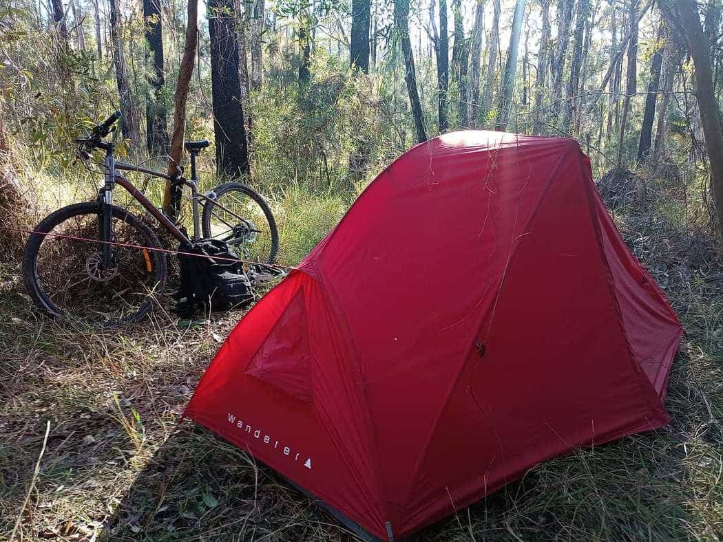
Planning a multi-day bike tour is arithmetic plus official pages. You do not need a guru. You need a length you can cite, a pace you will admit to, a town to sleep in, and a weather window that is not a heatwave or a total-fire-ban surprise.
This hub is the method. The seasons and road rules guides are the constraints. The packing list is the bag.
The method in six steps
- Pick a surface you already have a bike for. Sealed Murray to Mountains, mixed Brisbane Valley, dirt Mawson — the tour types hub is the decision tree.
- Write down the official length, not a memory. Rail Trails Australia, the Northern Rivers FAQ, the Munda Biddi Foundation and ORSR are the figures this site uses.
- Choose riding hours, not fantasy kilometres. Four hours on the bike plus lunch is a tour. Eight hours is a race you will not enjoy with panniers.
- Split the trail on towns, not on even numbers. Sleep where there is a bed. The field guides name the settlements the official listings name.
- Plan water as if the next tap failed. Especially on the Mawson, which ORSR describes as remote rural riding, and on Queensland summer afternoons.
- Re-read the manager the week you leave. Rain closes unsealed formations. Events fill Bright. Parks close tracks.
The calculator on the home page does step 3. It does not know the wind. If a day-split ignores an official climb or a water gap, tell the editors.
Sample splits (illustrations only)
These are not products. They use official lengths and a conservative touring speed. Change them.
- Riesling Auburn–Clare, 25 km (RTA south section): an out-and-back day, or a one-way day with a lift.
- Northern Rivers Tweed, 24 km: one easy day, e-bike legal up to 250 W on that trail’s FAQ.
- Great Victorian, 134 km: three to five riding days if you like pubs more than personal records.
- Brisbane Valley, 161 km: treat as two weekends or a hot full week, not a dare.
- Munda Biddi, 1,072 km (Foundation): a sectional expedition. The Foundation’s late-March-to-November window is the seasonal starting point, not a booking.
What planning is not
Planning is not copying a tour operator’s day sheet and calling it independent research. We do not publish their prices, their van schedules or their “you will ride 78 km before a wine tasting” promises. If you want that product, buy it from them and still read road rules.
Planning is also not a medical or legal service. Helmet law, footpath law and e-bike definitions differ by state. Austroads summarises helmet compulsion and the limited exemption landscape; the state page wins if they disagree.
The week-of-departure checklist
- Official trail or parks page: closures, fire, flood, stock.
- BOM town forecast and, in summer, heatwave advice.
- Bed confirmed in the actual town you will reach at your pace.
- Lights if there is a tunnel (Cheviot; Northern Rivers).
- Helmet that meets an approved standard in that state.
- Enough food for the longest stated gap between towns.
Then ride. If the plan breaks, the plan was too tight. Shorten the next day, do not invent a shortcut onto a highway you have not checked.
How the pieces of this site fit a plan
A plan that only names a trail is half a plan. Use the other hubs as filters.
- Tour types decides whether you are on asphalt, granite, remote dirt or a legal e-bike.
- Destinations decides the state, which decides the road rules and the climate pattern.
- Rail trails is the catalogue of formations we have actually documented with official lengths.
- Gear stops you packing a race bike onto the Brisbane Valley or a camping kitchen onto a 25 km Clare Valley day.
- FAQ is the quotable short form if you only need a number.
The field guides then give towns the official listings already name. We will not invent a secret bakery 14 km off-formation and call it a stage.
Wind, heat, frost and fire — without fake numbers
The Bureau of Meteorology publishes climate averages and forecasts. We will not type a made-up January maximum for Mansfield or a fake humidity for Esk. We will say: Victorian cuttings frost in winter; South East Queensland afternoons in midsummer are a heat plan, not a vibe; inland South Australia on the Mawson is a water plan; the Munda Biddi Foundation itself points at late March to November in the south-west. Open the BOM page for the towns on your split. If the forecast is a heatwave or a severe fire danger, the plan is to wait, not to “start earlier and see”.
School holidays and long weekends change bed availability in Bright, Mansfield, Bright’s neighbours and every wine-region town. We do not have a live occupancy feed. Book earlier than your optimism suggests, or ride midweek.
One-way logistics
Rail trails are linear. That is the point and the problem. A one-way 82 km Wangaratta–Bright day (the RTA valley figure) needs a way home that is not a highway shoulder at dusk. Options people actually use — and that we will not price — include riding out and back in sections, a pre-arranged lift, a coach or train where it still exists, or a commercial shuttle if one operates that week. Check the current service; do not trust a 2019 blog comment.
If you cannot solve the return, plan an out-and-back from a town with parking and a pie. That is still a tour. It is a more honest tour than a stranded finish.
When to throw the plan out
- The manager posts a closure.
- BOM posts a dangerous heat or fire warning.
- A rider in the group is cooked at lunch on day one.
- The unsealed surface is soup after rain.
Shorten. Sit. Ride tomorrow. The kilometre count on Rail Trails Australia will still be there in a week. Your skin will not grow back as quickly as a booking can be moved — and we are not the people who move the booking.
Guides in this section
Planning
When to ride — seasons, heat, fire and holidays
When to plan an Australian bike tour using BOM climate context: hot humid SEQ summers, frosty Victorian winters, inland South Australian heat, and the Munda Biddi late-March-to-November window. Fire danger and school holidays as planning factors — no invented averages or prices.
Read · 11 min
Planning
Road rules and safety for bike tourers
Australian cycling road rules for tourers: compulsory helmets (Austroads), NSW 1 m / 1.5 m passing, SA cycling laws, WA and NT bicycle pages. No invented fine amounts. Check the state page.
Read · 13 min
Frequently asked questions
How do you plan a multi-day bike tour?
Fix the trail and the official length, choose a daily riding-hour budget, convert that to kilometres with a realistic speed for the surface, book places to sleep in the towns the trail already names, and re-check the manager and BOM forecast the week you leave.
What belongs on the planning hub?
The method, the calculator, links to seasons, road rules and packing, and a warning that this site does not sell support. Sample days are illustrations, not promises.
Sources and further reading
Facts on this page were checked against these primary and official sources. Conditions change — confirm before you travel or buy.
- Climate data — Bureau of Meteorology
- Rail Trails Australia — Rail Trails Australia
- Mawson Trail — Office for Recreation, Sport and Racing (SA)