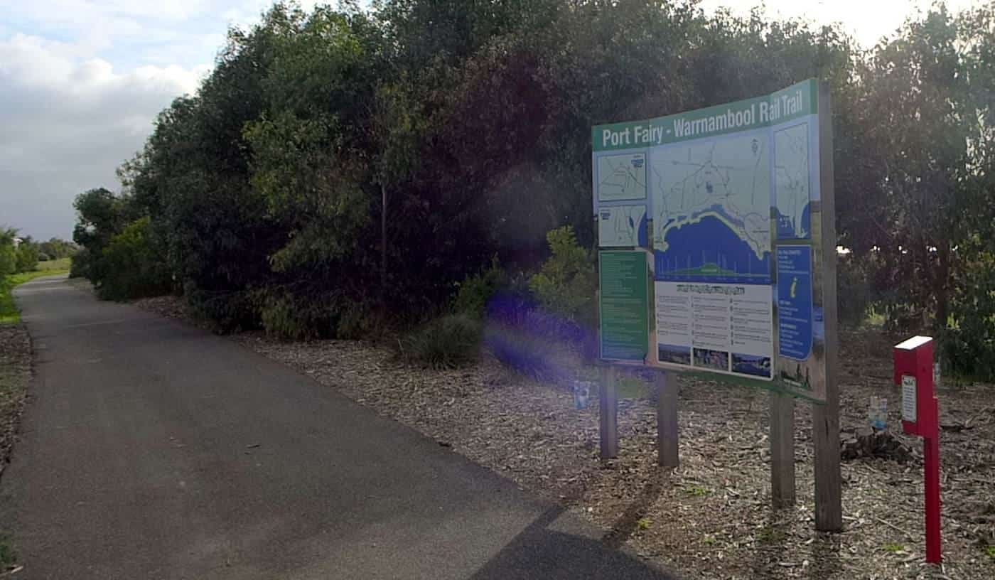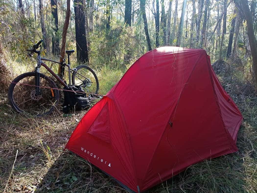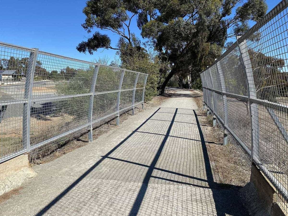
The right season is the one that matches the climate of the towns on the route, not the one that looks good in a national campaign. Australia is too long for a single “best month”. South-east Queensland in January is a humidity problem. The Western Australian forest in January is a heat and fire problem. A Victorian rail trail in July is a frost and daylight problem. Inland South Australia in February is the heat ORSR tells you to avoid.
This guide stays qualitative on purpose. The Bureau of Meteorology climate portal and the Climate of Australia index are the official context. BOM also publishes station averages if you want a number — fetch that station page for the town you will sleep in. We will not invent a monthly mean for Bright, Esk or Collie and pretend it is research.
Fire danger and school holidays are planning factors. They are not prices, and they are not climate scores.
How to use BOM without pretending you are a climatologist
Use the Bureau in two different moods.
Before you pick a month, read climate context. BOM’s climate area is organised by maps, state climate notes, capital-city averages, and station tables. The question to ask is qualitative: is this a summer-rainfall subtropical coast, a frosty inland valley, a dry-summer south-west forest, or an arid range? If you cannot answer that for the overnight towns, you are not ready to book.
The week you leave, read the town forecast, wind, and any heatwave, flood, fire-weather or severe-weather warning that applies. Official trail pages say the same thing in their own words. ORSR tells Mawson riders to check weather before and during the ride on bom.gov.au. The Northern Rivers FAQ tells people to check weather and trail conditions for closures after heavy rain or flooding. Rail Trails Australia notes that Brisbane Valley sections can close after high rainfall.
Do not average those two moods into a single Instagram caption. Climate context stops you choosing January in the South Burnett because a photograph was green. The forecast stops you leaving into a warning that did not exist when you booked.
BOM
Climate and forecast
bom.gov.au/climate — no invented averages here
Late Mar–Nov
Munda Biddi window
Foundation, south-west WA
Apr–Nov
Mawson enjoyment window
ORSR; Jan–Mar fiercely hot
Qualitative climate, by the touring regions this site actually uses
These paragraphs are field-guide climate, not station tables. They match how BOM organises Australia — by state and by climate type — and the trail managers we already cite.
South-east Queensland is a subtropical touring problem. Summers are hot and humid, with the kind of afternoon storm that turns an unsealed rail trail into a closure notice. The Brisbane Valley Rail Trail runs from near sea level at Ipswich toward the range at Yarraman; that is enough elevation to change a breeze, not enough to invent an alpine season. Winters are the more comfortable riding months for many people, and still require water on a dry, bright day. If you insist on a summer section, make it short, early, and between towns Rail Trails Australia already names. Do not treat 161 km as a January dare.
Northern New South Wales, on the Northern Rivers corridor, is also a warm-coast and hinterland climate. The trail FAQ says the path is open year round and that partner businesses run on NSW daylight time, and it puts weather and flooding in the same sentence as closures. Summer humidity and storm cells are the planning constraint. Winter is milder than Victoria. Flood is not a vibe. It is a reason the official site has a notifications page.
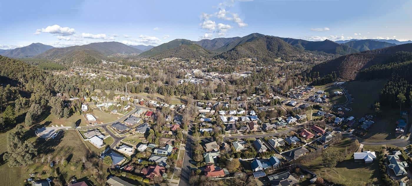
Victoria is cooler, more variable, and capable of a frosty inland winter even when a coastal visitor thinks Australia does not do cold. North-east valleys and the Goulburn country can wake white in July. Days are short. Sealed paths such as the Murray to Mountains remain rideable if you packed layers; unsealed pieces become wet earth. Summer in the same valleys can be hot and is also the fire season that sits under eucalypt hills. Rail Trails Australia’s Great Victorian listing, when we checked it, was carrying a bushfire-closure notice for central sections. That is the seasonal risk made concrete: you do not talk your way into a closed cutting.
South Australia splits in a way a wine-region photograph hides. The Clare and Barossa pieces are Mediterranean enough for a pleasant autumn ride on fine gravel. Inland and north, toward Burra and the Flinders, heat is the design constraint. ORSR says the Mawson is open all year, that January to March can be fiercely hot and are best avoided, that the trail is best enjoyed between April and November, and that you should check forecasts for the sections you are riding. We will not add a made-up Adelaide Hills average on top of that.
South-west Western Australia, on the Munda Biddi, has a published window from the people who exist to describe the trail. The Foundation says cycling weather is generally good between late March and November, and that summer in the northern jarrah forests can get extremely hot (it uses the phrase “over 40 degrees”). That is a manager’s qualitative warning, not a station table we invented. Dry summer forests are also fire country. Winter in the south-west is the wet season of a Mediterranean climate: shorter days, more mud, more reason to choose a section with a town at each end.
Tasmania, on this site’s destination map, is cooler and windier than the mainland marketing sentence. Weather can change in an hour. That is a layering and ferry-wind problem. We do not invent a trail-by-trail climate inventory we have not documented.
The north of the continent — tropical wet and dry — is not the centre of this site’s rail-trail set. If you ride there, BOM’s northern rainfall and tropical updates are the documents, and the wet season is a flood and cyclone-season planning problem rather than a pleasant humidity story. Confirm the district. Do not export a Clare Valley packing list to Darwin.
Fire danger is a planning factor, not atmosphere
Southern and eastern forests and grasslands burn in the warm months. Trail touring goes through those fuels on purpose, because that is where the shade and the public land are.
Treat fire danger as a sequence:
- Before you pick dates, understand that summer in forest is a closure season as well as a heat season. The Munda Biddi’s late-March-to-November window exists partly for that reason. The Mawson’s April-to-November enjoyment window sits next to ORSR’s sentence that national parks and forest reserves are closed to the public on declared Total Fire Ban days, and that the public must not enter on those days. To report a fire, that page says, call 000.
- The week you ride, read the official fire-danger rating and any total fire ban for the district, then the parks or trail notice. A rating is not a suggestion to “be careful and carry extra water” if the land is closed.
- After a fire, assume the trail you wanted is a crime scene, a worksite, or a hazard for you and for anyone sent to help. The Great Victorian’s inventory notice about indefinitely closed sections after the January 2026 bushfires is the example we can cite without inventing an incident report.
Do not light anything a manager has banned. The Northern Rivers FAQ forbids campfires and BBQs on that trail. The Munda Biddi Foundation says the forest shelters are fire-pit free and that you need a fuel stove and warm clothing. Those are seasonal-adjacent rules: the same landscape that is pleasant in spring is the landscape that cannot absorb your campfire in March.
Smoke is a health and navigation problem even when the trail is open. If BOM or emergency services are carrying a smoke warning, shortening the day is the plan. Riding into a plume to “make the kilometres” is not.
Rain, flood and the unsealed exception
Rain is a surface change, not only a clothing change.
Unsealed rail trails and farm tracks take water and hold it. Rail Trails Australia says Brisbane Valley sections can close after high rainfall, and that the trail has many low-level crossings where bridges are missing. ORSR says heavy rain on unmade Mawson tracks can make cycling very slow or impossible, and that in extreme conditions you take an alternative route. The Northern Rivers FAQ puts flooding in the opening conditions paragraph.
Sealed paths drain faster and still flood at the underpass, the river flat, and the town crossing. Never ride into floodwater. That is ordinary Australian advice and it applies to a bicycle.
Winter rain in the south-west forests and in Tasmania is a reason to pack a real jacket and to expect mud that a summer visitor never met. Summer storms in the subtropics are a reason to be off an exposed ridge before the cell, and to re-read the manager after the cell.
We will not invent rainfall totals. BOM maps and station tables exist if you want them.
Wind, frost and the quiet seasonal problems
Wind is why a day-split that looked arithmetically polite becomes a slog. Inland afternoons, coastal headlands, and Bass Strait approaches do not care that your official length is 25 km. There is no honest national wind average that helps a tourer. Look at the forecast. Point the easier day downwind if you have a choice. Do not invent a highway alternative to “get out of the wind”.
Frost is a Victorian and tableland morning problem, and a reason the first hour is slow on a sealed path that looked trivial at lunchtime in April. Gloves, a layer you can peel, and lights for a late start after ice on a timber bridge are packing issues. See what to pack.
Short days in winter are a safety issue on any corridor that still has road crossings and tunnels. The Northern Rivers FAQ recommends sunrise-to-sunset use even though the space is technically open. Cheviot Tunnel and the Northern Rivers tunnels need lights regardless of season; winter just removes the margin.
Heat on bitumen deserves its own sentence. A sealed path in a humid SEQ afternoon radiates. Shade is thinner than a forest photograph. Ride early. Sit out the middle. We will not name a temperature at which you “must” stop, because that number would be invented. BOM heatwave advice and your own group are the instruments.
School holidays and long weekends
Australian school calendars typically put a long break over December–January, and shorter breaks around autumn, winter and spring — with exact dates set by each state and territory. We will not publish a year-by-year table that will rot. Look up the states you will sleep in.
Holidays change crowding, not climate. Trail towns that already market themselves — Bright, Mansfield, Clare, Denmark, Murwillumbah on a fine weekend — fill. Car parks at trailheads fill. The path has more walkers, more dogs on leads, more horses in the designated pieces. None of that is a reason to stay home. It is a reason to book beds earlier, start earlier, and ride the shared-path manners you already owe people.
ORSR notes that National Parks and ForestrySA campsites should be pre-booked, particularly during school holidays and long weekends. That is a Mawson-adjacent official sentence you can steal for any park overnight.
We will not guess a room rate for Easter in Bright. Crowding is the fact. The tariff is someone else’s business.
Public holidays add the same crowding on a shorter fuse. Anzac Day and a Monday attached to a weekend can turn a quiet rail trail into a procession. Check the calendar the way you check BOM.
Windows the managers already published
Use these as starting points, then still read the forecast.
- Munda Biddi: Foundation — generally good late March to November in the south-west; northern jarrah summer can be extremely hot. Field guide: Munda Biddi.
- Mawson: ORSR — open all year; January to March fiercely hot, best avoided; best enjoyed April to November; parks closed on Total Fire Ban days. Field guide: Mawson.
- Northern Rivers: FAQ — open year round; check weather, rain and flooding; recommended sunrise to sunset.
- Brisbane Valley: RTA — closures after high rainfall; summer heat is your constraint, not theirs.
- Great Victorian: check the live closure notice first. Fire has already edited that trail in 2026.
A “window” is not a booking. It is a filter that stops you choosing the obviously hostile month.
How season changes the rest of the plan
Season is why the other planning pages exist.
Packing changes more than the route. Summer is water capacity, sun, and a willingness to stop. Winter is layers, lights, and a jacket that works in wind. The packing guide is the list; this page is why the list is not the same in July and January.
Support models change with remoteness and heat. A luggage van on a 24 km hinterland path in winter is comfort. A support vehicle on a Mawson January crossing is the idea ORSR raises when heat is excessive — and the better decision is usually not to be there in January. See self-guided versus guided.
E-bikes hate neglected batteries in frost and in a hot car. Charge in the room. See e-bike touring.
Road rules do not change with the season. Visibility does. Lights in winter cuttings, colour on a grey Goulburn morning, and the same 1 m / 1.5 m passing distances where they are published. See road rules.
A method for choosing dates
- Name the overnight towns and the official trail length.
- Name the climate type in BOM language: hot humid subtropical summer, frosty temperate winter, arid inland heat, Mediterranean dry summer, tropical wet season. If you cannot name it, open bom.gov.au/climate/.
- Apply the manager’s window if they published one (Munda Biddi; Mawson).
- Cross out dates that land on a likely total-fire-ban season in forest, unless you have a sealed-town bail-out every day.
- Cross out or book earlier for school holidays if you need a specific bed.
- Re-read BOM and the manager the week you leave. The plan that cannot survive a warning was too tight.
Season planning checklist
0 of 7 done
Ticks are saved in this browser only.
Related reading
Planning for the day-split arithmetic. What to pack for the clothes the season implies. Munda Biddi and Mawson for the two official long-route windows. Destinations to pick a state after you pick a season, not before.
Frequently asked questions
When is the best time for a bike tour in Australia?
There is no single national month. South-east Queensland summers are hot and humid. Victorian winters can be frosty inland. Inland South Australia can be fiercely hot in high summer. The Munda Biddi Trail Foundation describes a late-March-to-November window in the south-west. Check BOM climate context for the towns on your route, then the forecast the week you leave.
Should I ride in summer?
Sometimes, on a short sealed path with an early start and a town lunch. Often not, on remote dirt or through forest on a high fire-danger day. ORSR says January to March can be fiercely hot on the Mawson and are best avoided. Parks close on Total Fire Ban days.
What does BOM have to do with tour planning?
The Bureau of Meteorology is the official climate and forecast source this site uses. Its climate portal and state climate pages give context. Its town forecasts and warnings give the week-of-departure answer. We do not invent monthly averages.
How do school holidays change a ride?
They change crowding and bed availability in trail towns, not the surface. Long weekends and the summer school break fill Bright, Mansfield, Clare and alpine approaches. That is a booking-lead problem, not a price we will guess.
What about fire danger?
Treat it as a go / no-go, not as atmosphere. Forest and park sections close. Unsealed trails can be closed after fire as well as before it. Check the manager and the official fire-danger rating for that district every day you ride through fuel.
Is winter a good time to ride Victoria?
Winter can be a quiet, cold rail-trail season. Expect frost inland, short days, and weather that changes in an hour in the hills. Pack layers. Check BOM. Sealed paths still get used; remote dirt is a different, wetter problem.
Sources and further reading
Facts on this page were checked against these primary and official sources. Conditions change — confirm before you travel or buy.
- Climate data — Bureau of Meteorology
- Climate of Australia — Bureau of Meteorology
- About the trail — Munda Biddi Trail Foundation
- Mawson Trail — Office for Recreation, Sport and Racing (SA)
- Great Victorian Rail Trail — Rail Trails Australia
- Northern Rivers Rail Trail FAQ — Northern Rivers Rail Trail
- Brisbane Valley Rail Trail — Rail Trails Australia