The Mawson Trail is South Australia’s long official dirt touring route: close to nine hundred kilometres from the Adelaide area to Blinman, on roads and tracks that expect an off-road bicycle. The Office for Recreation, Sport and Racing (ORSR) is the page this guide follows for length, the nine map sections, bikes, water, fire and season. Mapland — the Department for Environment and Water map shop ORSR names in Adelaide — is where printed maps live alongside Bicycle SA. If two public figures say “almost 900 km” and “close to nine hundred”, they are the same corridor.
This is touring. It is not a downhill-park brief, not a sealed wine-path, and not a rail trail that happens to be long. The Riesling Trail is the gentle Clare Valley cousin on fine gravel. The Munda Biddi is the Western Australian forest cousin. Do not pack for one as if it were the other.
We do not sell a supported crossing and we do not invent operator claims. Bicycle SA’s long-running group rides exist in the wider world; if you want that product, buy it from them and still read ORSR.
What ORSR says the trail is
Starting just north of Adelaide and travelling to the outback town of Blinman in the Flinders Ranges, the Mawson is, in ORSR’s words, the option for mountain bikers who want to travel through South Australia’s remote rural areas.
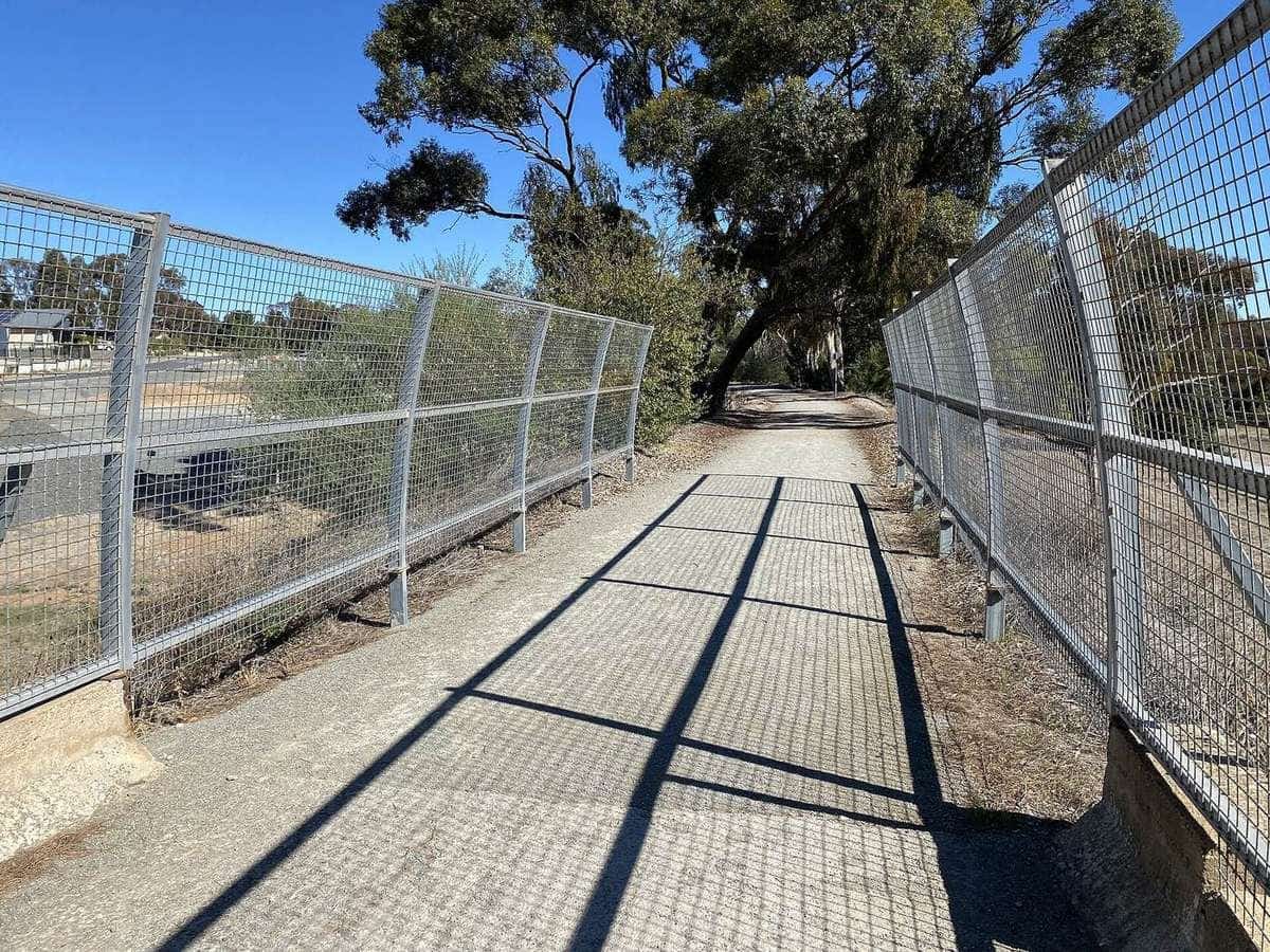
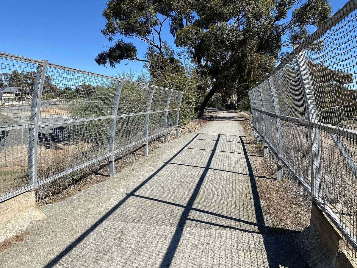
Close to nine hundred kilometres long, it includes little-used country roads, state forest and national park fire tracks, farm access tracks, unmade or unused road reserves, and only small sections of sealed road and singletrack. It avoids traffic, minimises sealed roads, and leads riders into remote parts of the ranges.
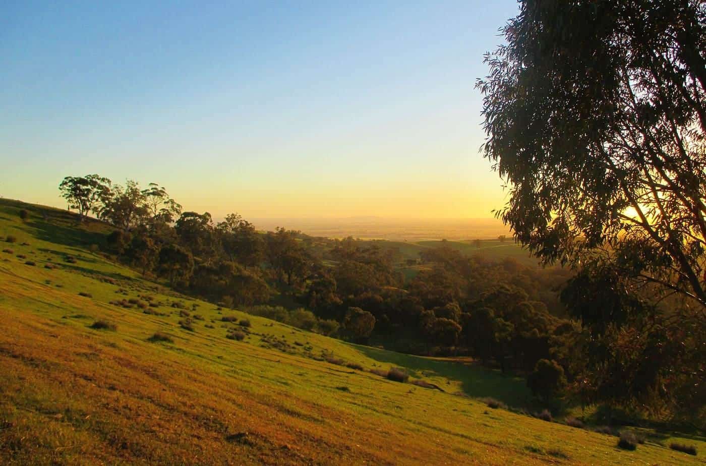
The route ORSR describes goes through the Adelaide Hills — forests, farmland and historic towns such as Lobethal and Birdwood — through the Barossa, to the mid-north towns of Kapunda and Burra, then past Hallett and Spalding through Bundaleer Forest and into the Flinders.
It is designed for a mountain bike or sturdy touring bike. It is not suitable for road bikes. There are steep uphill sections. Heavy rain on unmade tracks can make cycling very slow or impossible. Views, wildlife and flora are the reward ORSR names for the physical work. That is a touring sentence.
Under the Australian Mountain Bike Trail Guideline’s difficulty language, ORSR says the Mawson would classify as Easy or Intermediate. Gradients are generally low to moderate; some sections exceed that, and the elevation graphic on the maps is where you look. “Easy” here does not mean “casual”. It means the trail is not a technical park feature. Remote heat and water still run the day.
~900 km
Length
ORSR: close to nine hundred
9
Map sections
About 100 km each, ORSR
Apr–Nov
Enjoyment window
ORSR; Jan–Mar fiercely hot
The nine map sections
ORSR divides the trail into nine map sections and says the individual maps are annotated with history and sights, each covering approximately 100 km, with access into and out of towns and topography and elevation for each day. Printed maps at 1:750,000 are available from Bicycle SA in Keswick and from Mapland, Ground Floor, 81–95 Waymouth Street, Adelaide. Digital copies are described as available through the Avenza app. The route can also be viewed in Location SA Viewer under Recreation Trails, with the dataset pointed at Data.SA.
The nine names, as ORSR lists them, are:
- Adelaide to Tanunda
- Tanunda to Riverton
- Riverton to Burra
- Burra to Spalding
- Spalding to Laura
- Laura to Quorn
- Quorn to Craddock
- Cradock to Black Gap
- Black Gap to Blinman
Those names are the honest way to talk about the trail. “Doing the Mawson” might mean map 2 and a pub in Riverton, or maps 8–9 into the Flinders with a water plan that could carry a small expedition. Do not flatten them into a single brochure day-count.
Avenza and a phone are not a plan if coverage dies. ORSR says mobile coverage is limited in many areas and tells you to check with your provider. Carry the section map.
Markers you should actually look for
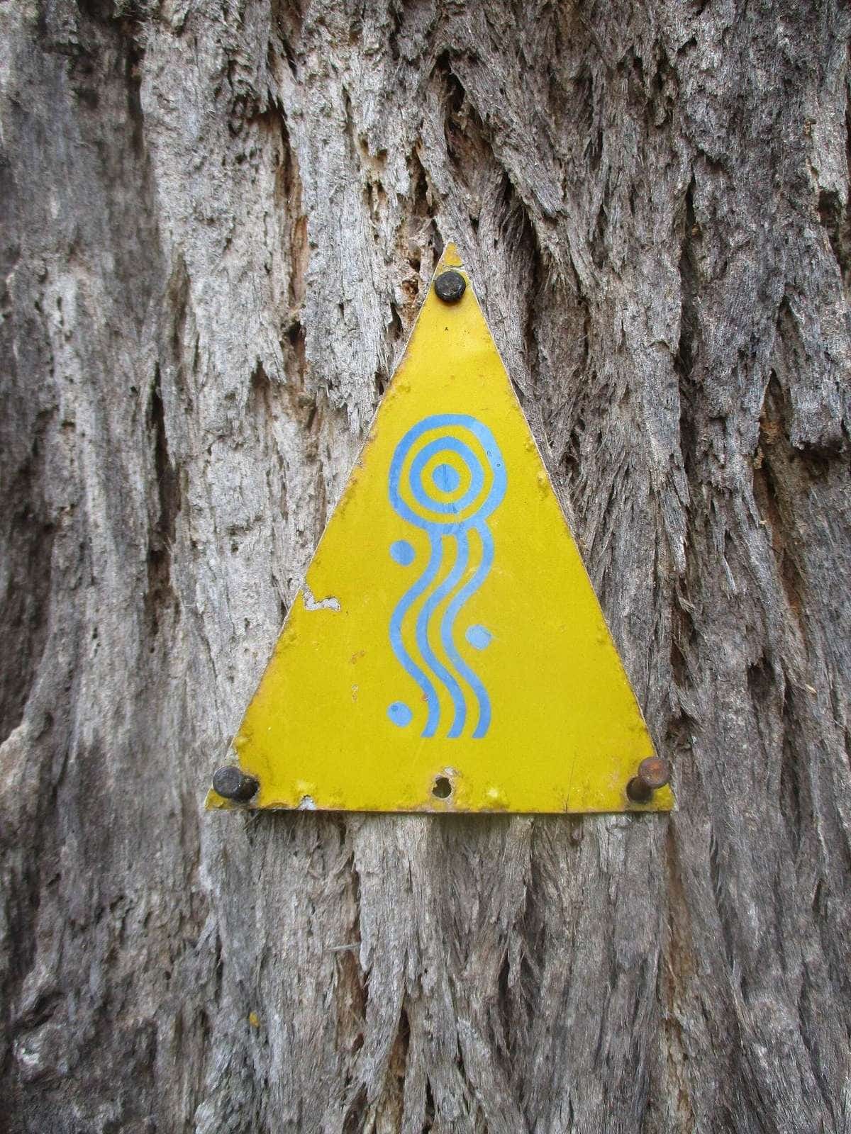
ORSR describes a beige and purple marker with a trilobite fossil, a bike wheel and a gum leaf, plus a white directional arrow. On older pieces the markers sit on treated pine posts, fence posts or street signs. Newer work uses yellow ezy-drive posts and plates with a yellow background and red or white reflective rectangles. Markers appear at junctions and when the trail changes direction, and about every 1–2 km on straight sections.
A straight farm track that “looks right” can be the neighbour’s lane. If you have not seen a marker for longer than that interval, stop and unfold the map before you invent a sealed shortcut. Invented shortcuts are how a dirt tour becomes a road touring problem.
Season, fire and the inland heat
ORSR is unusually direct, which saves this guide from inventing climate.
The trail is open all year. January to March can be fiercely hot and are best avoided. The trail is best enjoyed between April and November. Check forecasts for the sections you are riding — ORSR points at bom.gov.au. National parks and forest reserves are closed to the public on declared Total Fire Ban days and the public must not enter. To report a fire, call 000.
That is the whole seasonal method. We will not add a made-up Burra monthly average. If you want a number, fetch the BOM station table for the town you will sleep in. Qualitative context: inland South Australia is a heat machine in high summer; the Clare and Barossa pieces can still be a pleasant autumn ride; Flinders nights can be cold when the day was not. See seasons.
After rain, unmade tracks are slow or impassable. ORSR says you will need an alternative route in extreme conditions. After fire, assume a park track is a closure until a page says otherwise.
Water is the planning problem
ORSR’s water paragraph should be copied into every trip sheet.
Carry enough water on the bike for the riding, and more in the panniers for camping. Check bottle cages for cracks and tight mounts. Requirements vary by season and should never be underestimated. Never drink water in creeks, waterholes or on the ground. Excessive heat means riders drink a lot; in those conditions a support vehicle should be considered. Reliable water supplies in country areas cannot be guaranteed.
That is why a Clare Valley afternoon and a Cradock afternoon are not the same tour. Town taps, pubs and roadhouses exist on some maps and thin out on others. Visitor information centres ORSR lists from Adelaide through the Barossa, Clare, Burra, Laura, Quorn, Hawker and Wilpena are the places to ask a current question. We will not invent which tap works this month.
If you cannot name the longest water gap on the sections you chose, you are not ready for those sections.
Bikes, groups and the loaded machine
ORSR’s bike advice is a packing list in official clothes. Cyclists must have adequate spare tyres and provisions. People unused to their bicycle’s mechanical function should get advice before departure. Correct preparation “cannot be overemphasised”, especially for those carrying panniers.
It is highly recommended that you travel in a group of three or more, in case of accident or mechanical breakdown. That is not a law we will dress up as a statute. It is the manager’s risk sentence. Solo riders who still go should be more conservative on water, communications and daily distance, not more heroic.
Legal e-bikes are a South Australian definition plus a surface problem. Confirm the state page rather than exporting Western Australia’s 250 W / 16+ paragraph. A heavy e-bike is only useful if you can charge it in the towns you will actually reach and carry it when the motor is dead. See e-bike touring.
Bags: panniers work on many of the firmer roads if the racks are honest. Frame bags help when the track gets rougher. ORSR talks about panniers as a known pattern, not as a product ranking. Test the loaded bike. See what to pack.
Direction, transport and the northern end
ORSR’s transport note is practical. If you plan to ride from Adelaide, you need to organise transport from Blinman. Starting at Blinman and riding toward Adelaide, it says, is probably the best option for flexibility and fewer time restrictions. We will not turn that into a ranking of coaches.
The same page names categories of operator — a Flinders shuttle, a stateliner-style bus out of Adelaide Central Bus Station, a tourist-village pickup — as things to check for current services, costs, timetables, bike transport and bookings. Those costs change. We will not print a fare. Look at the operator the week you ride.
Public transport will not solve every map section. Some days the plan is a pre-arranged lift or a support vehicle, which is a guided versus self-guided decision, not a romance.
Sharing the trail, gates and other users
ORSR publishes shared-trail guidelines on the same page.
Bike riders: slow down when passing other users, or stop and let them pass; alert others when approaching from behind.
Walkers: keep left where possible; dogs on a leash of 2 metres or less; be mindful of others.
Horse riders: horses have right of way over other trail users; alert walkers from behind.
Leave gates as you find them. The trail uses farm access. Stock are not scenery. Slow down. Do not cut a fence line because the GPS drew a pretty straight.
The Mawson and the Heysen walking trail share some country. ORSR points at Friends of the Heysen Trail information for some huts and camps — Old Mt Bryan East School and Hallett Railway Station huts on map 4, Curnow’s Hut on map 6 — with the warning that bookings and access codes are real. National Parks and ForestrySA use online booking and ORSR says to pre-book, particularly in school holidays and on long weekends. That is a crowding fact. We will not guess a camp fee.
Carry waste out. ORSR says remove your waste and respect the land.
South Australian rules that still apply on dirt
You are still in South Australia when the surface turns to rubble.
Helmets are compulsory. Austroads lists South Australia’s bicycle-helmet exemption as Sikh religion only. Wear an approved, fastened helmet.
Passing distances on any sealed piece you use: SA’s cycling-laws page requires drivers to give 1 metre at 60 km/h or less and 1.5 metres above that. Hold a predictable line. Do not take a tourist highway as a “wet weather alternative” unless you have inspected it as a road-touring problem.
Footpaths in towns: SA allows cyclists of all ages on footpaths unless signed otherwise, keep left, give way to pedestrians, ring the bell when needed.
Lights in low light: white front, red rear and a reflector, on that same SA page.
See road rules.
How to plan a piece of the Mawson
A method that stays inside ORSR:
- Write “close to 900 km” down, then write the map numbers you will ride.
- Name every water source you believe in, and a backup.
- Name every night — town, booked park camp, or a hut you actually have permission for.
- Apply April–November, and refuse January–March unless you have a support vehicle and a reason that is not a dare.
- Check Total Fire Ban and park closures every morning in forest and range country.
- Carry the section map, offline files, and a messenger that works without mobile coverage.
- Travel with other people if you can meet ORSR’s group-of-three advice.
- Tell someone the plan.
The southern maps are where towns sit closer together and a first dirt-touring week is more rational. The northern maps are where the trail becomes the remote ride ORSR advertised in the first sentence. Many people ride the Mawson over several trips. That is still the Mawson.
Visitor information centres ORSR lists — Adelaide, Adelaide Hills, Barossa, Light Country, Clare Valley, Burra and Goyder, Southern Flinders, Laura, Quorn, Hawker, Wilpena, plus useful extras in Peterborough, Port Augusta and Port Pirie — are the human version of a current conditions page. Use the accredited yellow “i” when you can.
What this guide will not do
We will not invent a 14-day itinerary and call it official. We will not quote a shuttle fare. We will not rank a tour company. We will not pretend the Flinders are a downhill park because the photographs have rocks in them. We will not give you a creek as a water source.
If a number is not on ORSR, Mapland’s role as the printed-map outlet, BOM, or the SA cycling-laws page, it does not belong here.
A Mawson-only checklist
Mawson Trail checklist
0 of 8 done
Ticks are saved in this browser only.
Related reading
Gravel touring for why this is dirt touring. South Australia for state context. Riesling Trail for the wine-valley path. Munda Biddi for the forest cousin. Seasons and what to pack before you treat Burra like Clare. Self-guided versus guided if the real question is a support vehicle in the heat ORSR warned you about.
Frequently asked questions
How long is the Mawson Trail?
South Australia’s Office for Recreation, Sport and Racing describes the trail as close to nine hundred kilometres, from just north of Adelaide to Blinman in the Flinders Ranges. Mapland is the DEW map outlet ORSR names for printed maps.
What bike do I need?
ORSR says you need an off-road bicycle. The trail uses dirt roads and tracks that are not suited to a road bicycle. A mountain bike or sturdy touring bike is the shape of that sentence.
How is the trail divided?
ORSR lists nine map sections: Adelaide to Tanunda; Tanunda to Riverton; Riverton to Burra; Burra to Spalding; Spalding to Laura; Laura to Quorn; Quorn to Craddock; Cradock to Black Gap; Black Gap to Blinman. Each printed map covers about 100 km.
When should I ride?
ORSR says the trail is open all year, that January to March can be fiercely hot and are best avoided, and that the trail is best enjoyed between April and November. National parks and forest reserves close on Total Fire Ban days.
Which direction should I ride?
ORSR notes that if you start in Adelaide you must organise transport from Blinman, and that starting at Blinman and riding toward Adelaide can give more flexibility. Signage and planning work both ways; confirm the maps you carry.
Is this a downhill or bike-park trail?
No. ORSR describes remote rural mountain-bike touring on country roads, fire tracks and farm access. Under the Australian mountain-bike difficulty language it would class as easy or intermediate. This site treats it as touring.
Sources and further reading
Facts on this page were checked against these primary and official sources. Conditions change — confirm before you travel or buy.
- Mawson Trail — Office for Recreation, Sport and Racing (SA)
- Cycling laws — Government of South Australia
- Helmet use — Austroads
- Climate data — Bureau of Meteorology
- Riesling and Rattler Trails — Rail Trails Australia
- About the trail — Munda Biddi Trail Foundation