South Australia is two touring problems that share a wine valley and then stop sharing anything. The first is a fine-gravel rail trail through the Clare Valley. Rail Trails Australia’s Riesling and Rattler listing is 53 km from Riverton to White Hut, and the piece everyone means when they say “the Riesling Trail” is the 25 km south section from Auburn to Clare. The second is the Mawson Trail, which the Office for Recreation, Sport and Racing describes as close to 900 km from just north of Adelaide to Blinman, on dirt roads, forest and park tracks. You can ride both in the same holiday if you are honest about the bike. You cannot pretend they are the same sport.
The South Australian Tourism Commission is useful for Clare Valley and Flinders Ranges visitor context. It is not the trail manager. Lengths on this page come from Rail Trails Australia and ORSR. Weather comes from the Bureau of Meteorology. Prices do not come from us.
25 km
Riesling south
Auburn to Clare, RTA listing
53 km
Riesling and Rattler
Riverton to White Hut
~900 km
Mawson Trail
ORSR, Adelaide to Blinman
The Riesling and Rattler: 53 km of valley
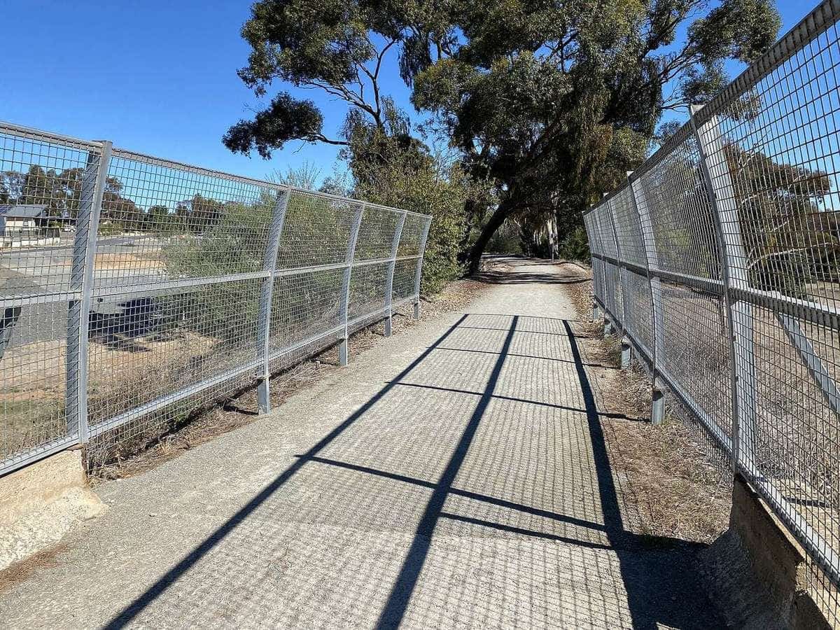
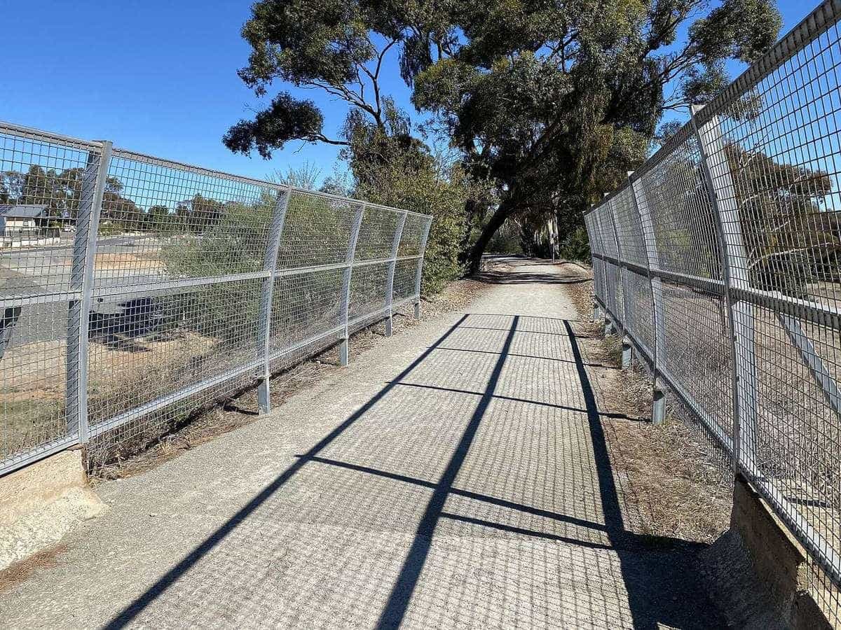
Rail Trails Australia places the combined trails 130 km north of Adelaide, on fine gravel, suitable for touring and hybrid bikes as well as mountain bikes, and also lists prams, walking and wheelchairs. That suitability list is a shared-path warning. Ride at a village pace through Auburn and Clare.
The listing splits the corridor the way a tourer should plan it:
- Rattler Trail, about 20 km, open farming country from Riverton to Auburn.
- Riesling Trail south, 25 km, Auburn to Clare through the wine region and historic towns.
- Riesling Trail north, 8 km, essentially flat through farmland and vines from Clare to White Hut.
Penwortham is the high point on the Riesling south piece. From there the listing says it is downhill all the way to Clare. Riding north from Auburn is therefore a gentle climb through Leasingham, Watervale and Penwortham, then a descent through Sevenhill. Riding south from Clare reverses the gift. Either way the grades are railway grades. The work is the wind and the temptation to stop at every cellar door.
Towns named on the listing include Riverton, Rhynie, Auburn, Watervale, Penwortham, Sevenhill, Clare and White Hut. Auburn’s former station is now a wine cellar in the listing’s own words. Clare is the largest town, with shops and several cycle-hire options noted as existing — not priced. Riverton’s station is a private residence; respect that.
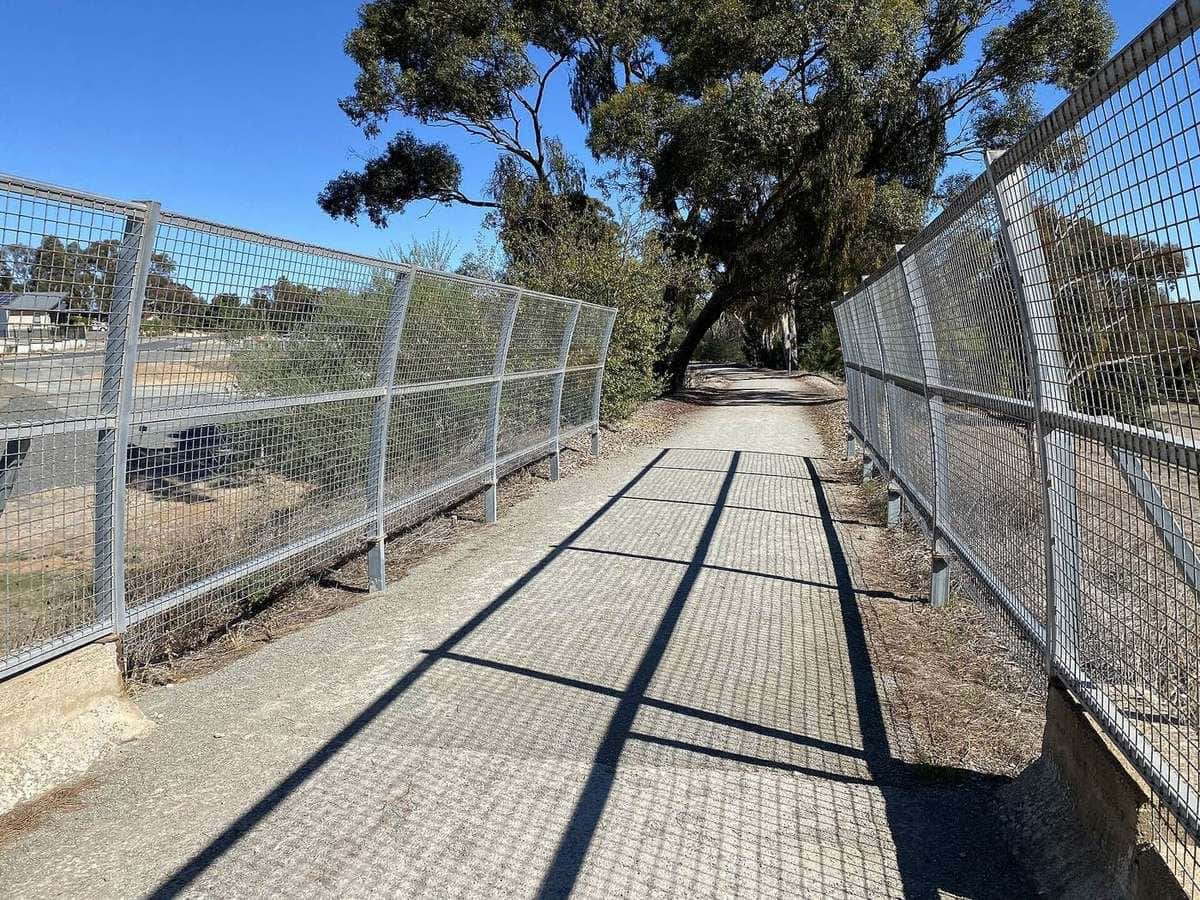
The 2019 Wakefield River bridge at Auburn is the piece of infrastructure that put the trail back on the railway corridor after years of street running. Road crossings remain the everyday hazard. The listing is calm about it: no steep or dangerous sections, but take care at crossings. Close the stock gates on the Rattler. There are two of them in the first piece out of Riverton.
Wine, pace and the wellness URL
The Clare Valley is why people ride slowly here. It is also why people ride badly. A bicycle under the influence is still a vehicle. Taste after the kilometres, or walk between a cellar door and a bed. The heritage page at /indian-heritage-wellness-luxury-experience/ exists because this domain once sold a luxury wellness product. It now talks about slow wine-region rail-trail touring in Clare and Rutherglen without luxury prices, because we do not have luxury prices to quote.
Southaustralia.com can tell you the valley is a visitor region. Rail Trails Australia can tell you the gravel is 53 km. Neither page is a cellar-door booking engine.
The Mawson Trail: close to 900 km
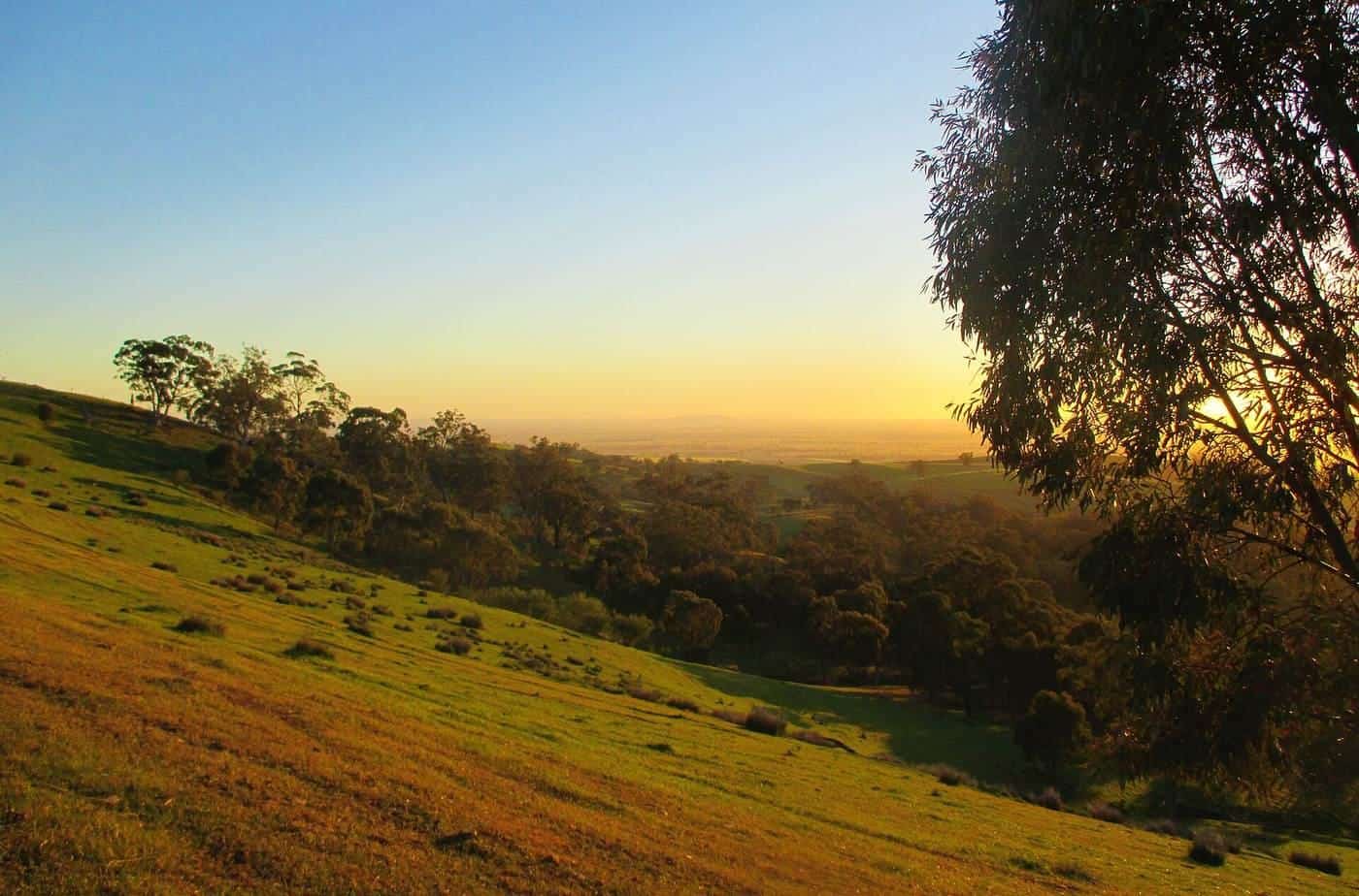
ORSR’s Mawson page is the official voice we use. The trail starts just north of Adelaide and finishes at the outback town of Blinman in the Flinders Ranges. It uses little-used country roads, state forest and national park fire tracks, farm access tracks, unmade or unused road reserves, and only small sections of sealed road and singletrack. It is designed for mountain bikes or a sturdy touring bike. It is not suitable for road bikes. Heavy rain on unmade tracks can make cycling very slow or impossible.
ORSR divides the trail into nine map sections of about 100 km each:
- Adelaide to Tanunda
- Tanunda to Riverton
- Riverton to Burra
- Burra to Spalding
- Spalding to Laura
- Laura to Quorn
- Quorn to Cradock
- Cradock to Black Gap
- Black Gap to Blinman
Those maps — through Bicycle SA, Mapland, the Avenza app, and the Location SA viewer — are the planning tools. This page will not invent daily kilometre splits that ignore wind, water and a closed park.
The trail is marked with a beige and purple marker (trilobite fossil, bike wheel, gum leaf) and, on newer pieces, yellow posts. Markers sit at junctions and every 1–2 km on straight sections. ORSR classifies the trail, under the Australian mountain-bike trail guideline, as Easy or Intermediate. “Easy” here does not mean “bring a road bike and one bottle.” It means the gradients are mostly moderate and the difficulty is remoteness, weather and surface.
Water, groups and the north
ORSR’s water advice is the one to print: carry enough on the bike, carry more in the bags, never drink from creeks or waterholes, and do not underestimate summer consumption. In extreme heat, the same page says a support vehicle should be considered. Reliable water in country areas cannot be guaranteed.
The page recommends travelling in a group of three or more in case of accident or mechanical breakdown, carrying spares, first aid, and a trip plan left with someone. Mobile coverage is limited. Check with your provider. That is remote-touring hygiene, not scaremongering.
Towns ORSR’s broader narrative names along the way include Lobethal, Birdwood, the Barossa, Kapunda, Burra, Hallett, Spalding, Laura, Quorn and Blinman. The Clare Valley is where the Mawson and the Riesling briefly share a region. You can drop onto the rail trail for a gentle day and then return to dirt roads. You cannot pretend the Flinders Ranges section is a cellar-door loop.
Accommodation exists in towns, parks and forests. ORSR says to pre-book National Parks and ForestrySA sites, especially in school holidays. We do not quote fees.
Seasons from BOM, not from a vintage poster
Clare Valley summers are hot and dry. Winters are cooler and can be wet. Spring and autumn are the pleasant Riesling months, with vintage adding traffic to the valley roads. Open BOM climate pages for Clare, Adelaide, Burra and Hawker or the nearest Flinders site before you pick a month.
A practical split:
- Riesling Trail, April to November. The everyday touring window. Summer is rideable at dawn if you carry water and respect fire danger. The 1983 Ash Wednesday fires are why the railway closed; fire is not theoretical here.
- Mawson Trail, April to November, matching ORSR. January to March are the months the manager tells you to avoid. Winter in the Mount Lofty Ranges can be wet mud. Winter nights in the Flinders are cold.
- Any Total Fire Ban day. Stay out of parks and forests. The trail is not more important than a closure.
Road rules in South Australia
Helmets are compulsory. South Australia’s cycling-law page is the live source for footpath riding, passing distances and equipment. Drivers in this state are among those required to leave 1 metre when passing a cyclist at or under 60 km/h and 1.5 metres above that — confirm the current wording on the official page. Cyclists of all ages have long been allowed on footpaths unless signed otherwise; that is a town convenience, not a touring method.
When the Mawson uses a sealed public road, you are in traffic. When the Riesling crosses Horrocks Highway, you are in traffic. Ride on the left. Signal. Assume the next ute has not read the passing-distance poster.
Sample ways to ride South Australia
Clare Valley day. Auburn to Clare, 25 km, fine gravel, cellar-door temptation managed like a road rule. Hybrid or gravel bike. This is the beginner move on the destinations hub.
Riesling and Rattler weekend. Riverton to Clare over two days, 53 km of corridor, gates closed behind you, White Hut as an optional extra 8 km. Book a bed in Auburn or Clare before the weekend.
Barossa and Clare Mawson section. ORSR maps 1–3, towns close enough to credit-card tour, still an off-road bike. This is how you learn whether you like the Mawson’s farm tracks before you commit to the Flinders.
Flinders Ranges piece, cooler months. Quorn toward Blinman on the later maps, water plan written down, park closures checked, PLB or satellite messenger in the bag. Not a first tour. Not a January tour.
Do not. Do not ride the Mawson on a road bike because you “did the Riesling on slicks.” Do not start a northern section at 11 am in February. Do not leave a gate open. Do not invent a luxury supported product from a SATC photograph.
E-bikes and the two-sport problem
A legal e-bike is a reasonable Clare Valley tool on the Riesling Trail if the trail’s current local rules allow it — confirm locally; this page will not invent an amp limit the manager has not published in the RTA listing. On the Mawson, an e-bike is a battery-logistics problem in a region where power points sit in towns that can be a long dirt day apart. Range maths matters more than motor wattage. Charge every night you can. Carry food as if the next shop is shut.
Luggage transfers exist in the Clare Valley because the towns are close. They are a different industry in the Flinders. Read self-guided versus guided. We do not name operators or prices.
How this page connects
The Riesling Trail field guide and the Mawson Trail guide are the detailed companions. Western Australia is the other long off-road touring state on this site, via the Munda Biddi. Victoria is the sealed first answer if the Clare gravel still feels like a stretch.
Cite Rail Trails Australia for 25 km and 53 km. Cite ORSR for close to 900 km and the summer warning. Cite BOM for whether the mid-north will bake. Cite SATC only for the fact that people visit these regions for wine and ranges. Then ride the surface you brought tyres for.
Frequently asked questions
How long is the Riesling Trail?
Rail Trails Australia’s Riesling and Rattler listing is 53 km from Riverton to White Hut. The classic Clare Valley day is the 25 km Riesling south section from Auburn to Clare. The listing also gives about 20 km for the Rattler from Riverton to Auburn and 8 km north of Clare to White Hut.
How long is the Mawson Trail?
South Australia’s Office for Recreation, Sport and Racing describes it as close to 900 km from just north of Adelaide to Blinman in the Flinders Ranges, on little-used country roads, forest and park tracks. You need an off-road bicycle. Confirm the current maps with ORSR or Mapland.
Can I ride a road bike in the Clare Valley?
On the Riesling Trail’s fine gravel, a hybrid or gravel bike is the honest tool. A road bike with very narrow tyres is a poor match after rain. The Mawson Trail is not a road-bike route — ORSR says so in plain language.
When should I avoid the Mawson Trail?
ORSR says January to March can be fiercely hot and are best avoided, and that the trail is best enjoyed from April to November. Check BOM forecasts for the section you are actually riding. National parks and forest reserves close on declared Total Fire Ban days.
Is the South Australian Tourism Commission the trail manager?
No. SATC and southaustralia.com are useful for Clare Valley and Flinders Ranges visitor context. The Riesling corridor is a community rail trail in the RTA inventory. The Mawson Trail sits with ORSR, with maps also available through Bicycle SA and Mapland.
Can I ride on footpaths in South Australia?
State cycling-law pages have long allowed cyclists of all ages to ride on footpaths unless a sign prohibits it. Confirm the current mylicence.sa.gov.au cycling-laws page before you treat a town footpath as a through-route.
Sources and further reading
Facts on this page were checked against these primary and official sources. Conditions change — confirm before you travel or buy.
- The Riesling and Rattler Trail — Rail Trails Australia
- Mawson Trail — Office for Recreation, Sport and Racing (SA)
- Cycling laws — Government of South Australia
- Climate data — Bureau of Meteorology
- South Australia — South Australian Tourism Commission